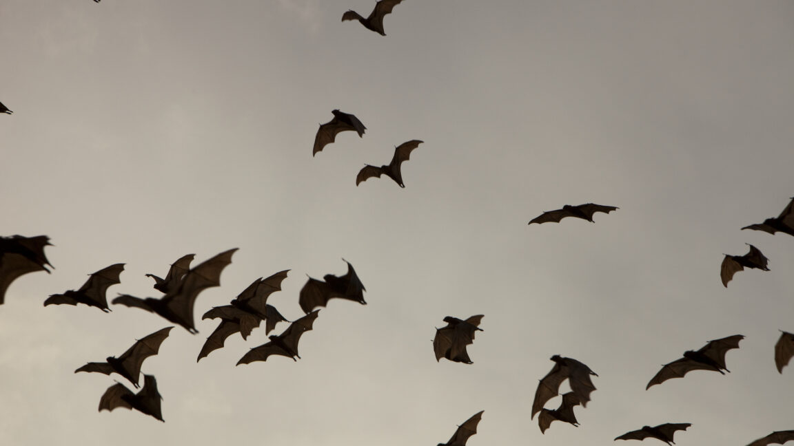
Many species of bats use echolocation to avoid obstacles like tree branches and hunt small insects as they fly through the dark. But it turns out echolocation for bats is much more than just a short-range obstacle-avoidance and prey-targeting system. A recent study shows that one species of bats can stitch together thousands upon thousands of sound signatures into acoustic maps they use to successfully navigate several kilometers over their hunting grounds. The maps work even if the bats are completely blindfolded.
Blindfolded bats
“What echolocating bats do is they emit sounds, ultrasonic or not, and use the characteristics of the reflected echo to sense objects they have in front of them. We wanted to know if they use it for large-scale navigation. Most people think, 'Of course they do,' but the reality is we didn’t know that,” says Aya Goldshtein, a researcher at the Max Planck Institute of Animal Behavior in Konstanz, Germany. Goldshtein collaborated with scientists at Tel Aviv University on a study of how a species of bats called Kuhl’s pipistrelle navigate in their natural environment.
There were several reasons that navigation via echolocation wasn’t obvious at all. For starters, echolocation is hopelessly limited when it comes to range. Bats can use it to sense objects that are at most a few dozen meters away. It’s a tool closer to an ultrasonic parking sensor in a car than to a long-distance sonar in a submarine. It is also not omnidirectional. The cone of coverage bats get from echolocation is usually a maximum of 120 degrees, although they can modulate it to an extent, depending on the shape of their mouths.
On top of that bats have other senses that, in theory, should work better for navigating during long flights. Some bats have surprisingly good vision, sharp senses of smell, and can even sense Earth’s magnetic field, which is famously used for navigation by birds. To isolate echolocation as a potential navigation tool, Goldshtein’s team first had to find the right bat species. They went for Kuhl’s pipistrelle bats.
“They are very small, weigh around 6 grams, have relatively poor sight, fly very low above the ground, and their echolocation abilities are excellent,” Goldshtein said. Her team caught 76 of those bats and divided them into groups with various levels of temporary sensory deprivation. The bats in the first group could fly with all their senses at their disposal. The second group was blindfolded; the third was deprived of sight and smell; and the fourth had to fly without sight, smell, or the ability to sense the magnetic field. (This was done by fitting the bats with magnets that created a local field more potent than the Earth’s.) All bats were radio-tagged to precisely track their position in near real time, taken a few kilometers away from their roost and released in an open field.
The idea was to see if they could get back to the roost. It turned out they all could. They flew around for a few minutes to figure out where they were, and then headed back home.
That’s highly suggestive, but Goldshtein’s team could not pinpoint the exact role echolocation played during navigation. That could have possibly been answered by depriving a fifth group of echolocation, but the bats simply refused to fly without it. So, that’s where things got a bit more high-tech.
Sounding out a landscape
The first step was to build a precise 3D map of the entire Hula Valley in Israel, where the experiment took place. “We started with an airplane fitted with Lidar. Then, we used drones to do high-resolution scans of the terrain and compare those with Lidar results,” Goldshtein explains. When the valley’s topography was successfully captured by a series of Lidar point clouds, the team simulated the echoes bats would receive when flying over the landscape.
“The bats’ homing range was divided into separate spatial cells. Then, in the simulation, we emitted echolocation sounds and measured the reflected echoes at each spatial cell in the entire area to see how complex the signal is,” Goldshtein says. Next, the team used a Shannon entropy equation to simplify those signals down to a single value the team called an echoic entropy. More complex terrain features like orchards or riverbanks had high echoic entropy, while less complex places like fields or roads had low echoic entropy.
Finally, the team used a measure called the Kullback-Leibler divergence distance to see how similar the echoic signal is across various types of landscape features. Did echolocation provide enough information to tell one orchard from another or distinguish between specific points along the bank of the same river? It turned out it did.
The purpose of all this tech was to figure out how the world looked, or perhaps how it sounded, from a bat’s perspective when perceived through echolocation alone. “It doesn’t mean this is how bats do that. This was our way to analyze and understand how they do it,” Goldshtein says. The last piece of the puzzle was to check what echoes the bats received along their travels between the field where they were released to the roost.
Bat maps
To evaluate the route each bat took to get back to the roost, the team used their simulations to measure the echoic entropy it experienced along the way. The field where the bats were released was a low echoic entropy area, so during those first few minutes when they were flying around they were likely just looking for some more distinct, higher entropy landmarks to figure out where they were. Once they were oriented, they started flying to the roost, but not in a straight line. They meandered a bit, and the groups with higher sensory deprivation tended to meander more.
The meandering, researchers suspect, was due to trouble the bats had with maintaining the steady path relying on echolocation alone. When they were detecting distinctive landmarks like a specific orchard, they corrected the course. Repeating the process eventually brought them to their roost.
But could this be landmark-based navigation? Or perhaps simple beaconing, where an animal locks onto something like a distant light and moves toward it?
The researchers argue in favor of cognitive acoustic maps. “I think if echolocation wasn’t such a limited sensory modality, we couldn’t reach a conclusion about the bats using cognitive acoustic maps,” Goldshtein says. The distance between landmarks the bats used to correct their flight path was significantly longer than echolocation’s sensing range. Yet they knew which direction the roost was relative to one landmark, even when the next landmark on the way was acoustically invisible. You can’t do that without having the area mapped.
“It would be really interesting to understand how other bats do that, to compare between species,” Goldshtein says. There are bats that fly over a thousand meters above the ground, so they simply can’t sense any landmarks using echolocation. Other species hunt over sea, which, as per this team’s simulations, would be just one huge low-entropy area. “We are just starting. That’s why I do not study only navigation but also housing, foraging, and other aspects of their behavior. I think we still don’t know enough about bats in general,” Goldshtein claims.
Science, 2024. DOI: 10.1126/science.adn6269